Tabasco
From Olmec La Venta and the Chontal Maya cacao lands to pirates, a wandering capital, Garrido's red years and the oil boom of the 1970s.
Capital: Villahermosa · Became a state: 1824 · Checked 3 Nov 2026
Interactive maptap or click a state to open its page
Tabasco in figures from its history
Olmec La Venta and the Chontal cacao lands
Tabasco holds some of the oldest monumental building in Mesoamerica. At Aguada Fénix, near the San Pedro River, a lidar survey announced in Jun 2020 revealed a raised platform about 1,400 m long, built around 1000-800 BCE, the largest and oldest Maya monument found so far. To the west, the Olmec city of La Venta rose on an island in the marshes near the Tonalá River. It flourished from about 900 to 400 BCE and left an earthen pyramid about 34 m high and four colossal heads carved from basalt brought from more than 80 km away. A refinery now covers the south of the site, and in 1958-59 the poet Carlos Pellicer pressed for 35 monuments to be moved to Villahermosa to save them.
Indigenous languages spoken today
Speakers aged 3 and over, census of 2020 21
In all, 91,025 people aged 3 and over spoke an Indigenous language in 2020, 4.0% of that age group, up from 61,256 in 2010. Counts by language come from Data México, built on the same census. Maya, Zapotec, Nahuatl and Tsotsil are also spoken.
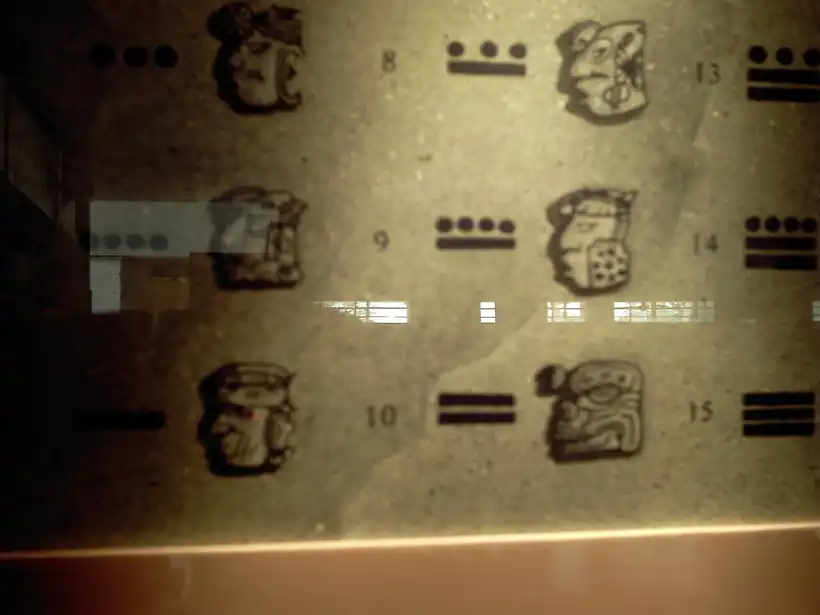

Maya cities followed in the Classic period. Comalcalco, built around 550 CE, stands apart among major Maya cities for being raised mainly in fired brick, bonded with mortar of burnt shell, because the delta had no stone. Pomoná, in the Usumacinta basin, was an organised city by about 692 and was defeated by Piedras Negras in 790. By the 16th century the Chontal Maya held the lowlands. Their port of Potonchán controlled routes by sea and river, and Chontal traders handled much of the cacao of the Maya world. Chontal is still the state's main Indigenous language, alongside Ch'ol and Tseltal.
Centla, cacao, pirates and a capital on the move
Juan de Grijalva reached the river that now bears his name in 1518. In Mar 1519 Hernán Cortés landed near Potonchán and defeated the Chontal at the Battle of Centla, one of the first battles in the Americas in which the Spanish fought on horseback. The defeated lords gave the Spaniards 20 young women; one of them, Malintzin, became Cortés's interpreter and adviser. The Spaniards founded Santa María de la Victoria near today's Frontera, but the conquest dragged on for decades. The Cimatecos, the last to submit, held out until 1564.
Interactive maptap or click a state to open its page
With no silver or gold, Tabasco became a poor and neglected province. European diseases cut down the native population, and Spanish settlers brought enslaved Africans to work the plantations. Cacao from the Chontalpa and, by the 18th century, cattle were what the province sold. English and Dutch pirates raided its coast from 1557 for more than two centuries. Settlers fled inland to San Juan Bautista, founded as Villa Carmona in 1564 and granted the title of Villa Hermosa in 1598. After a sack in 1677 the authorities moved to Tacotalpa, and the capital came back only on 15 Aug 1795. Tabasco militia drove the pirates from Isla del Carmen in 1717.
Places in its history
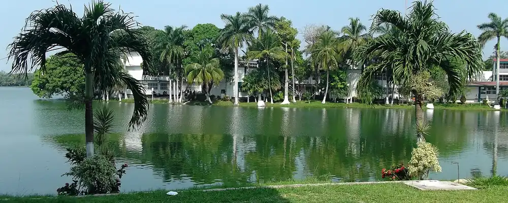
Villahermosa
City · 1564
State capital, founded as Villa Carmona; the seat of power returned here in 1795. 12
Frontera
Port · 1519; port 1872
Port at the mouth of the Grijalva, near where Santa María de la Victoria stood; taken by USA forces in 1846. 11
Tacotalpa
City · 1677-1795
Colonial capital of the province after the pirate raids; its church, finished in 1710, is the oldest in the state. 13
Macuspana
Oil field · 1940-60; Ciudad Pemex 1958
Town of the Macuspana basin, where Pemex found oil and gas between 1940 and 1960 and founded Ciudad Pemex in 1958. 2
Statehood, invasions and Garrido's red years
Tabasco proclaimed its independence on 7 Sep 1821 in the main square of Villahermosa and became one of the first states of the federation in 1824. Its first decades brought 14 governors in 18 years, cholera in 1833 that killed 4,020 people, and invasions sent from Yucatán. In Oct 1846 a USA squadron under Matthew C. Perry took the port of Frontera, and in 1847 his forces held the capital for 35 days before guerrilla resistance and the climate drove them out. During the French Intervention, Tabasco liberals under Gregorio Méndez and Andrés Sánchez Magallanes won at El Jahuactal on 1 Nov 1863 and expelled the imperial forces.
1810 to 1920 in Tabasco
From the timeline below, coloured by era
Under Porfirio Díaz, who ruled from 1876 to 1911, the state stayed quiet and isolated. The telegraph to Mexico City arrived in 1881 and electric light in the capital in 1890. Cacao went out to world markets while timber companies cleared the forests, and workers held by debt peonage, bound to the estates by debts they could not repay, lived in harsh conditions under Governor Abraham Bandala, in office from 1894 to 1910. Tabasco joined Madero's movement against Díaz in 1910-11, and from 1919 Tomás Garrido Canabal dominated the state. He built rural schools, organised farmers' leagues, banned alcohol by a law of 30 Apr 1931 and closed churches in a violent anticlerical campaign enforced by his Red Shirts. His banana cooperative pushed Tabasco toward a single crop.
Draining the Chontalpa, finding the oil
In 1951 the federal government created the Grijalva River Commission to manage a state of great rivers and floods. The Gulf coast highway that tied Tabasco to Veracruz and the Yucatán Peninsula was finished in 1956. In the 1960s the Plan Chontalpa drained wetlands to turn 50,000 hectares into farms of about 15 hectares per family. Incomes rose, but the plan drove most of the region's deforestation and favoured larger owners over the ejidos, the communal farm grants of the land reform. A second plan, Balancán-Tenosique, followed in the east, along with free school breakfasts and rural clinics.
The region, c. 1600 and today
What each state turned on, by the era table below; Tabasco outlined in gold.
Interactive maptap or click a state to open its page
c. 1600
Tabasco: Ports, sugar and cacao
- Ports, sugar and cacao
- Indigenous south: cochineal, maize, tribute
- Maya lands under encomienda or beyond Spanish rule
Today
Tabasco: Oil and gas
- Oil and gas
- Farming and agro-exports
Its places in the modern era
Numbered as on the map above
- 6Macuspana · 1940-60; Ciudad Pemex 1958
Town of the Macuspana basin, where Pemex found oil and gas between 1940 and 1960 and founded Ciudad Pemex in 1958. 2
Pemex found oil and gas in Huimanguillo and Macuspana between 1940 and 1960, and in 1958 it founded Ciudad Pemex beside its gas works. The great finds came in the 1970s, when supergiant fields in 7 municipalities set off an oil boom, with development under way from 1974. Villahermosa became an energy city and built its Tabasco 2000 district in the 1980s. The wealth came with disputes over Pemex revenues, damage to fishing, farming and cattle, and blockades of oil facilities in 1996, when about 30,000 people marched on the capital. Floods in 1975, 1990 and 1999 recalled the old power of the rivers.
The two forces of Tabasco's history, its rivers and its oil, kept shaping it. In late Oct and early Nov 2007 days of heavy rain swelled the Grijalva and its branches; the river broke its dikes in Villahermosa on 2 Nov, and most of the state was under water. Oil kept its central place: contracts for a new Pemex refinery at Dos Bocas, in Paraíso, were announced in Jul 2019, and it opened in Jul 2022. In Dec 2023 the Tren Maya reached the east of the state, with stations at Tenosique, Boca del Cerro and El Triunfo in Balancán. The delta the Olmec and the Chontal settled is still a land of water, and the oil beneath it still sets its course.
Tabasco, date by date
Before the Spanish before 1519
- c. 1000-800 BCE
Aguada Fénix, the largest and oldest known Maya monument, is built near the San Pedro River. 6
- c. 900-400 BCE
La Venta is the leading Olmec city, with its great earthen pyramid and colossal heads. 4
- c. 550 CE
Comalcalco is built in fired brick, the Chontal Maya city of the western delta. 7
- 790
Pomoná, on the Usumacinta, is defeated in war by Piedras Negras. 8
- 1518
Juan de Grijalva reaches the river now named after him and meets the lord of Potonchán. 3
The colonial centuries 1519 to 1809
- 1519
Cortés defeats the Chontal at Centla and founds Santa María de la Victoria; Malintzin joins the Spaniards. 9
- 1564
Diego de Quijada founds Villa Carmona, today Villahermosa, and the Cimatecos are the last to submit. 3
- 1598
Philip II grants the town the title of Villa Hermosa and a coat of arms. 12
- 1677
After a pirate sack, the provincial authorities move to Tacotalpa. 13
- 1717
Tabasco forces drive the pirates from Isla del Carmen on 16 Jul. 3
- 1795
The capital returns to Villahermosa on 15 Aug. 12
Independence and the Reform 1810 to 1875
Modern Mexico after 1920
- 1931
Governor Tomás Garrido Canabal decrees prohibition on 30 Apr. 15
- 1958
Pemex founds Ciudad Pemex in Macuspana beside its gas works. 18
- 1974
Development of the supergiant oil fields begins and the oil boom follows. 1
- 2007
The Grijalva breaks its dikes in Villahermosa on 2 Nov, and most of the state floods. 22
Where Tabasco stood: c. 1600, 1910 and today
Interactive maptap or click a state to open its page
c. 1600
Silver, the heartland and the frontier
Tabasco: Ports, sugar and cacao
- Silver mining districts
- Towns, farms and workshops of the old heartland
- Ports, sugar and cacao
- Indigenous south: cochineal, maize, tribute
- Maya lands under encomienda or beyond Spanish rule
- Frontier: missions, presidios, independent peoples
1910
The Porfiriato at its height
Tabasco: Export crops: coffee, tobacco, cacao, chicle, timber
- Mining
- Oil
- Henequén
- Sugar and textile mills
- Haciendas: grain, pulque, cattle
- Export crops: coffee, tobacco, cacao, chicle, timber
- Steel, cotton and the railway north
- Ranching frontier
- The national capital
Today
What each state turns on now
Tabasco: Oil and gas
- Export manufacturing
- Oil and gas
- Tourism
- Farming and agro-exports
- Mining
- Ports and logistics
- Services and government
Why Mexico's own reading of what each state's economy turned on in that period, drawn from the sources listed in each state's room; a classification, not a measurement.
Today's numbers for Tabasco
Output, exports, jobs, wages and investment now, each with its source and date.
The bookBook 6, Where to Go in Mexico, chapter 18
Where to Go in Mexico: The Gulf and the Isthmus, the corridor this state belongs to.
Why MexicoThe national timeline
The turning points of the whole country, each dated, each with its source.
Sources, each with its date
- Wikipedia (English), Tabasco, History and Indigenous languages sections, 3 Nov 2026 · read 3 Nov 2026 · link
- Wikipedia (Spanish), Tabasco, history section, 3 Nov 2026 · read 3 Nov 2026 · link
- Wikipedia (Spanish), Historia de Tabasco, 3 Nov 2026 · read 3 Nov 2026 · link
- Wikipedia (English), La Venta, 3 Nov 2026 · read 3 Nov 2026 · link
- Wikipedia (Spanish), La Venta, 3 Nov 2026 · read 3 Nov 2026 · link
- Wikipedia (English), Aguada Fénix, 3 Nov 2026 · read 3 Nov 2026 · link
- Wikipedia (English), Comalcalco (archaeological site), 3 Nov 2026 · read 3 Nov 2026 · link
- Wikipedia (Spanish), Pomoná, 3 Nov 2026 · read 3 Nov 2026 · link
- Wikipedia (Spanish), Batalla de Centla, 3 Nov 2026 · read 3 Nov 2026 · link
- Wikipedia (Spanish), Frontera (Tabasco), 3 Nov 2026 · read 3 Nov 2026 · link
- Wikipedia (English), Frontera, Tabasco, 3 Nov 2026 · read 3 Nov 2026 · link
- Wikipedia (English), Villahermosa, 3 Nov 2026 · read 3 Nov 2026 · link
- Wikipedia (English), Tacotalpa, 3 Nov 2026 · read 3 Nov 2026 · link
- Wikipedia (Spanish), Batalla del Jahuactal, 3 Nov 2026 · read 3 Nov 2026 · link
- Wikipedia (Spanish), Tomás Garrido Canabal, 3 Nov 2026 · read 3 Nov 2026 · link
- Wikipedia (English), Chontalpa, 3 Nov 2026 · read 3 Nov 2026 · link
- Wikipedia (English), Macuspana, 3 Nov 2026 · read 3 Nov 2026 · link
- Wikipedia (Spanish), Ciudad Pemex, 3 Nov 2026 · read 3 Nov 2026 · link
- INEGI / 1910 census, Table VI, population of the federal entities in 1895, 1900 and 1910 (Universidad Veracruzana transcription), 1910 · read 3 Nov 2026 · link
- INEGI, Censo de Población y Vivienda 2020, results for Tabasco, press release 36/21, 26 Jan 2021 · read 3 Nov 2026 · link
- Data México (Secretaría de Economía), Tabasco profile, Indigenous languages from the 2020 census, 3 Nov 2026 · read 3 Nov 2026 · link
- Wikipedia (English), 2007 Tabasco flood, 3 Nov 2026 · read 3 Nov 2026 · link
- Wikipedia (English), Dos Bocas Refinery (opening dated by its cited Bloomberg article of 1 Jul 2022), 3 Nov 2026 · read 3 Nov 2026 · link
- Wikipedia (English), Tren Maya, 3 Nov 2026 · read 3 Nov 2026 · link
Pictures
- Laguna de las Ilusiones, UJAT, Villahermosa, Tabasco: Luis J. Romero, CC BY 2.0, Wikimedia Commons · read 3 Nov 2026
- Comalcalco (zona arqueológica) Museo 11: Raymundo1972, CC BY-SA 3.0, Wikimedia Commons · read 3 Nov 2026

Where the sources disagree
- Battle of Centla: Historia de Tabasco (Spanish) gives 14 Mar 1519, the Frontera article 24 Mar 1519 and the Batalla de Centla article 25 Mar 1519. This page says Mar 1519.
- First Spanish town on the mainland: Historia de Tabasco (Spanish) says Santa María de la Victoria; the Veracruz articles say Villa Rica de la Vera Cruz. This page makes neither claim.
- Dates of Comalcalco: the site article gives c. 550-1000 CE; Wikipedia (English, Tabasco) gives 800-1100. This page uses the site article.
- Speakers of Indigenous languages: INEGI gives 91,025 (4.0%); Data México, the source of the per-language counts, gives about 92,200 (3.84%). This page uses INEGI.
Sonora
From the oldest Clovis camp and the terraces of Trincheras to Kino's missions, Álamos silver, the Yaqui wars, the Sonoran presidents and the irrigated wheat of the Yaqui Valley.
All 32 on the mapNext →Tamaulipas
Huastec villages on the edge of Mesoamerica, Escandón's ranching frontier of 1748, a border state shaped by the Rio Grande, Tampico's oil and the cotton of Matamoros.