Mexico, state by state: the long arc
Each state has a room of its own: the peoples who were there first, what the colonial centuries made of it, its part in Independence, the Reform and the Revolution, and how its economy turned in the 20th century. Every date carries its source.
For where each state stands today, in numbers, see rutanamex.com.
Jump to a state
Interactive maptap or click a state to open its page
What each state turned on: c. 1600, 1910 and today
Interactive maptap or click a state to open its page
c. 1600
Silver, the heartland and the frontier
- Silver mining districts
- Towns, farms and workshops of the old heartland
- Ports, sugar and cacao
- Indigenous south: cochineal, maize, tribute
- Maya lands under encomienda or beyond Spanish rule
- Frontier: missions, presidios, independent peoples
1910
The Porfiriato at its height
- Mining
- Oil
- Henequén
- Sugar and textile mills
- Haciendas: grain, pulque, cattle
- Export crops: coffee, tobacco, cacao, chicle, timber
- Steel, cotton and the railway north
- Ranching frontier
- The national capital
Today
What each state turns on now
- Export manufacturing
- Oil and gas
- Tourism
- Farming and agro-exports
- Mining
- Ports and logistics
- Services and government
Why Mexico's own reading of what each state's economy turned on in that period, drawn from the sources listed in each state's room; a classification, not a measurement.
All 32, by corridor
The Texas-Facing North
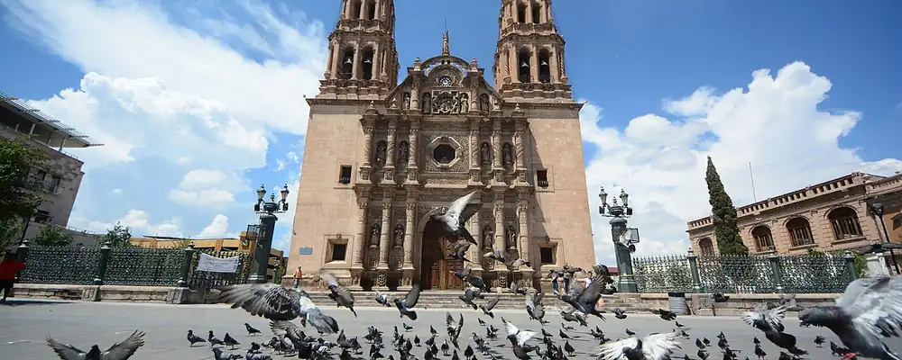
Chihuahua
From the adobe city of Paquimé to the silver of Parral, the last days of Hidalgo, Villa's División del Norte and the border factories of Ciudad Juárez.
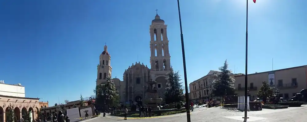
Coahuila
Desert hunters and lake peoples, Tlaxcalan settlers at Saltillo, a frontier that once included Texas, then cotton ejidos, coal and the steel of Monclova.
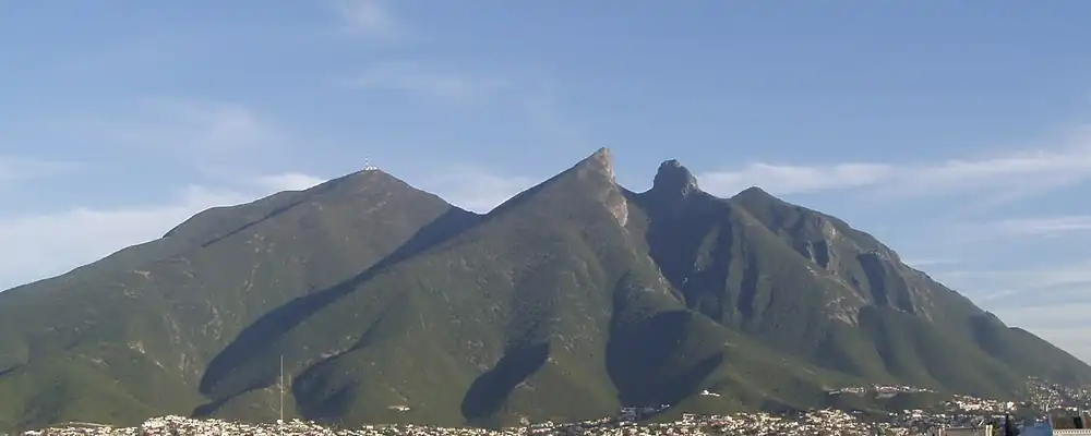
Nuevo León
From the carved rocks of desert hunters to the foundries and breweries of Monterrey, Nuevo León turned a poor frontier kingdom into Mexico's industrial north.
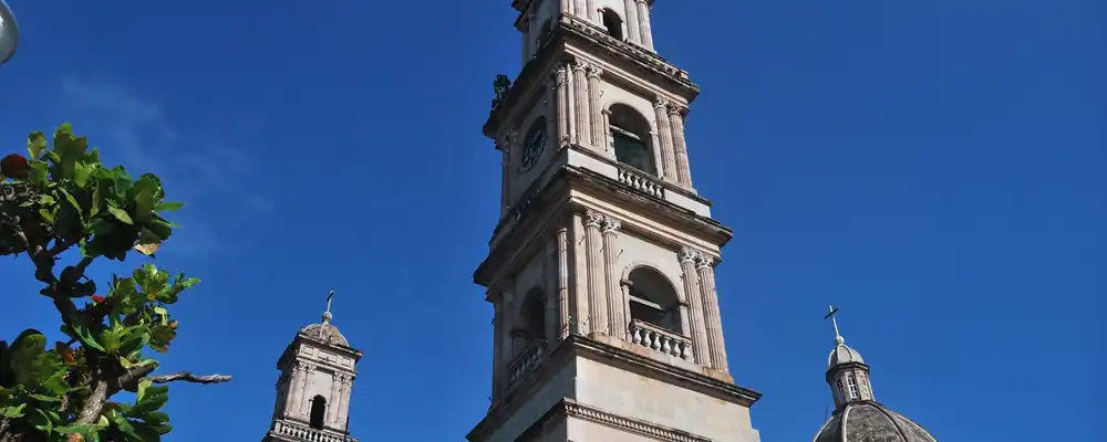
Tamaulipas
Huastec villages on the edge of Mesoamerica, Escandón's ranching frontier of 1748, a border state shaped by the Rio Grande, Tampico's oil and the cotton of Matamoros.
The Pacific Border
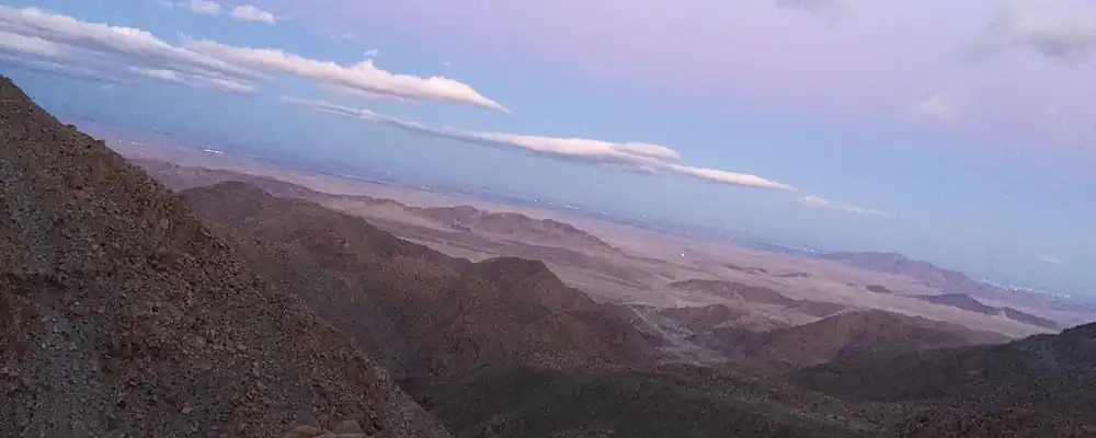
Baja California
Yuman peoples and their painted rocks, a thin chain of missions, a desert frontier settled late, then irrigated cotton, border towns and the factories of the 1960s.
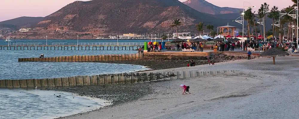
Baja California Sur
Painted caves of the Cochimí, pearls and Jesuit missions, a French copper town, and a remote territory that became a state and a tourist coast in 1974.
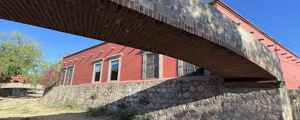
Sonora
From the oldest Clovis camp and the terraces of Trincheras to Kino's missions, Álamos silver, the Yaqui wars, the Sonoran presidents and the irrigated wheat of the Yaqui Valley.
The Bajío and Center-North
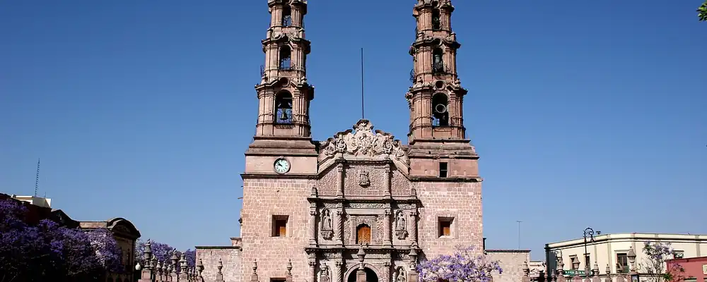
Aguascalientes
Chichimeca hunting grounds became a rest stop on the silver road, then a state carved from Zacatecas, a railway town and, from 1982, a car-making valley.
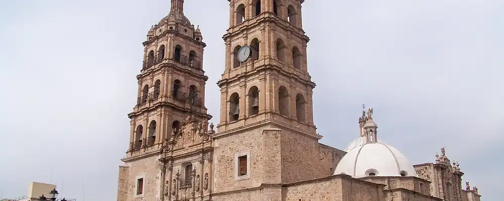
Durango
Capital of the old Nueva Vizcaya, Durango grew from silver camps and an iron hill into a frontier of forests, Laguna cotton and the first rumblings of the Revolution.
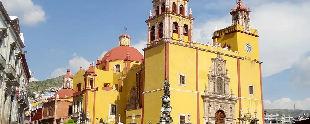
Guanajuato
From Chupícuaro and Cañada de la Virgen to the silver of La Valenciana, the cry of Dolores and the Bajío's grain, Guanajuato has fed Mexico and started its wars.
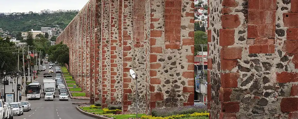
Querétaro
From Sierra Gorda cinnabar miners to the 1810 conspiracy, the fall of an empire and the 1917 Constitution, Querétaro has joined Mexico's centre to its north.
San Luis Potosí
Huastec cities in the eastern lowlands, a gold hill found in 1592, the plan that started the Revolution and a rail junction in central Mexico.
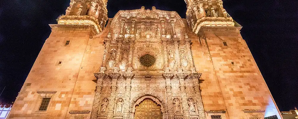
Zacatecas
From the turquoise traders of Chalchihuites to the silver city founded in 1546 and the battle of 1914, Zacatecas has fed Mexico's wealth and sent its people to the USA.
The Center
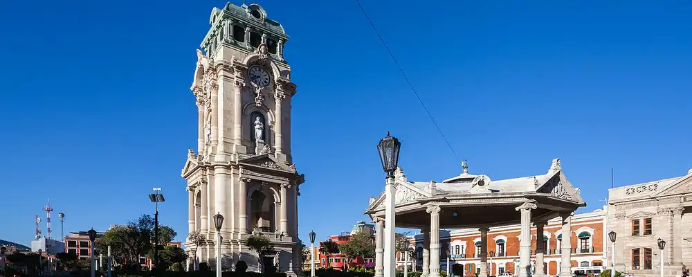
Hidalgo
From Toltec Tula to the silver of Pachuca and Real del Monte, then to Cornish engines, a state born in 1869, and the factories and refinery of the 20th century.
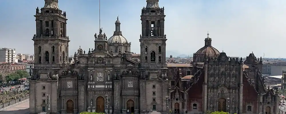
Mexico City
From Cuicuilco and the island of Tenochtitlan to the capital of New Spain, the Federal District of 1824 and the vast metropolis renamed Mexico City in 2016.
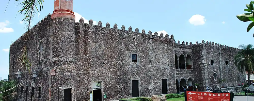
Morelos
From Chalcatzingo and Xochicalco to Cortés's sugar estates, the siege of Cuautla and Zapata's fight for land, the valleys of Morelos turned on who held the soil.
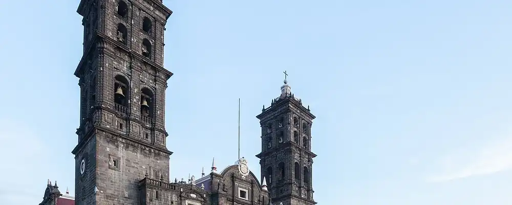
Puebla
From early maize at Tehuacán and the pyramid of Cholula to the City of the Angels, the battle of 5 May 1862, textile mills and Volkswagen.
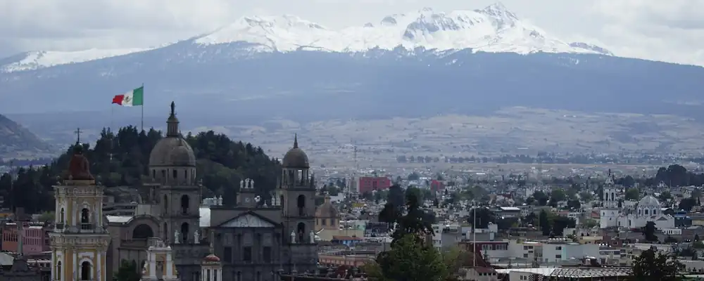
State of Mexico
Teotihuacan, the Matlatzinca and Mazahua valleys, early silver and pulque, a great state cut down to size, then the factory belt and new cities around the capital.
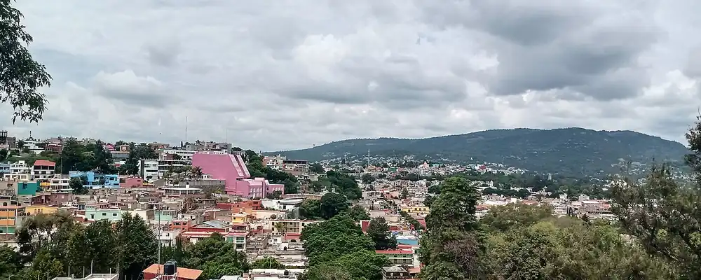
Tlaxcala
From the murals of Cacaxtla and a republic the Mexica never conquered to the alliance of 1519, colonists for the north, a hard-won statehood and industrial corridors.
The West
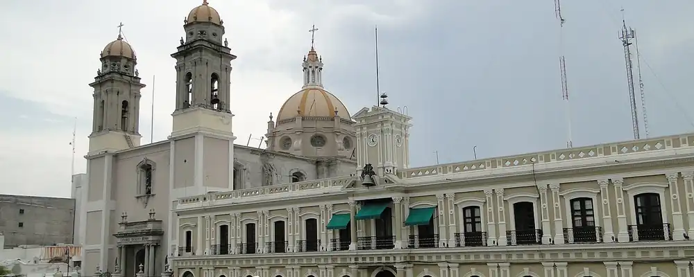
Colima
From the Capacha potters and shaft tombs below the volcano to cacao, salt and the port of Manzanillo, Colima has long been western Mexico's door to the Pacific.
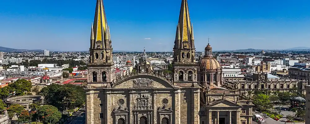
Jalisco
From the round temples of the Teuchitlán valleys to the factories of Guadalajara, Jalisco grew from the frontier of Nueva Galicia into the heart of western Mexico.
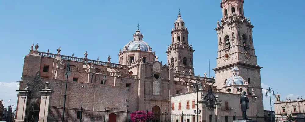
Michoacán
From the Purépecha kingdom that held off the Aztecs to the birthplace of Morelos and the dams of the Balsas, Michoacán has shaped Mexico on its own terms.
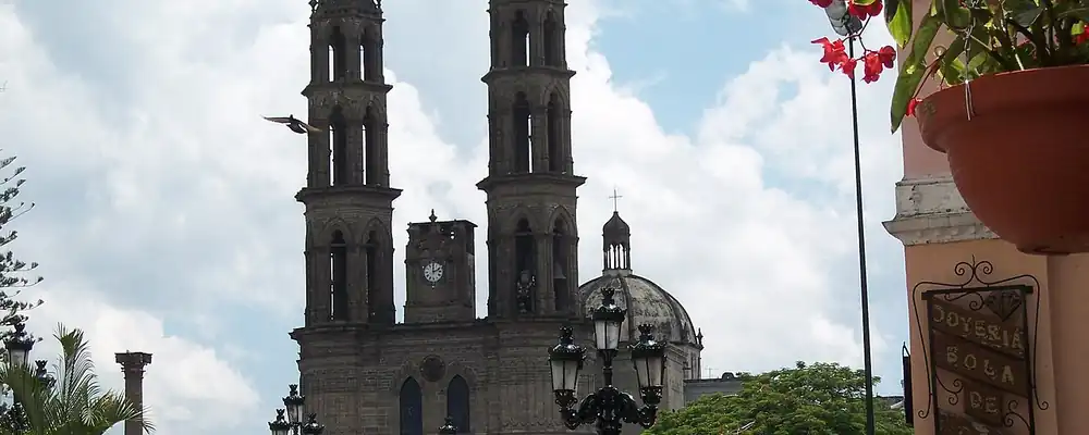
Nayarit
From the Cora and Wixárika sierras and the island of Mexcaltitán to the shipyards of San Blas and the tobacco fields of the coast, Nayarit was the west's last frontier.
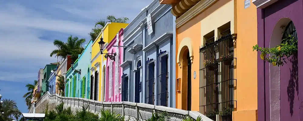
Sinaloa
River peoples on the edge of Mesoamerica, Jesuit missions and mountain silver, a Pacific port at Mazatlán, then dams that made the coastal valleys a granary.
The Gulf and the Isthmus
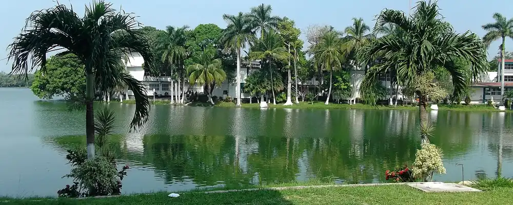
Tabasco
From Olmec La Venta and the Chontal Maya cacao lands to pirates, a wandering capital, Garrido's red years and the oil boom of the 1970s.
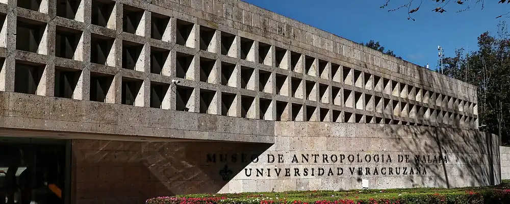
Veracruz
From the Olmec heads of San Lorenzo and the niches of El Tajín to the gateway port of New Spain, Yanga's free town and the oil of the Golden Lane.
The Peninsula
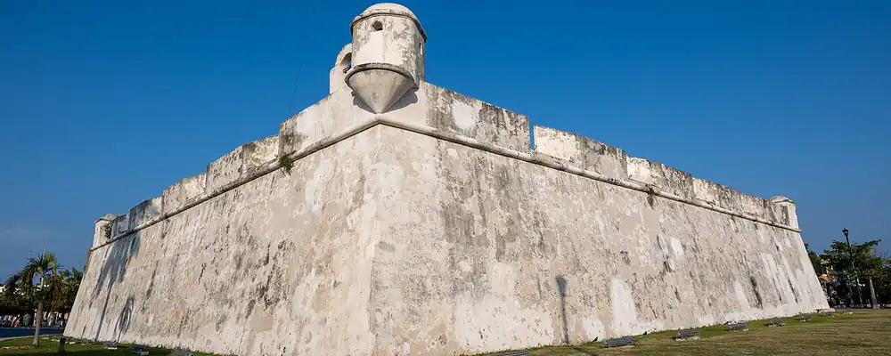
Campeche
Campeche runs from Calakmul's Snake Kingdom to a walled port that shipped logwood and fought off pirates, then to chicle camps in the forest and the oil of Cantarell.
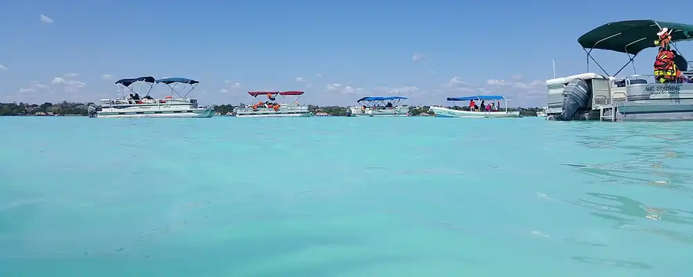
Quintana Roo
Quintana Roo went from Maya Cobá and Tulum to the rebel shrine of the Talking Cross, a chicle frontier on the Belize border, and finally Cancún, built on a near-empty island after 1970.
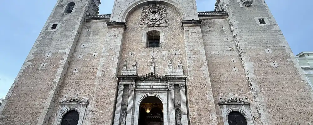
Yucatán
From Izamal, Uxmal and Chichén Itzá to Spanish Mérida, the Caste War and the henequen fortune, Yucatán is the Maya north that never stopped speaking Maya.
The Deep South: Guerrero, Oaxaca and Chiapas
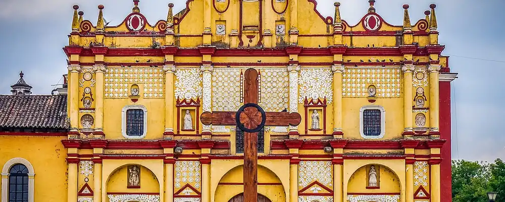
Chiapas
Maya and Zoque cities, three centuries ruled from Guatemala, its own choice to join Mexico in 1824, then coffee, great dams and the uprising of 1994.
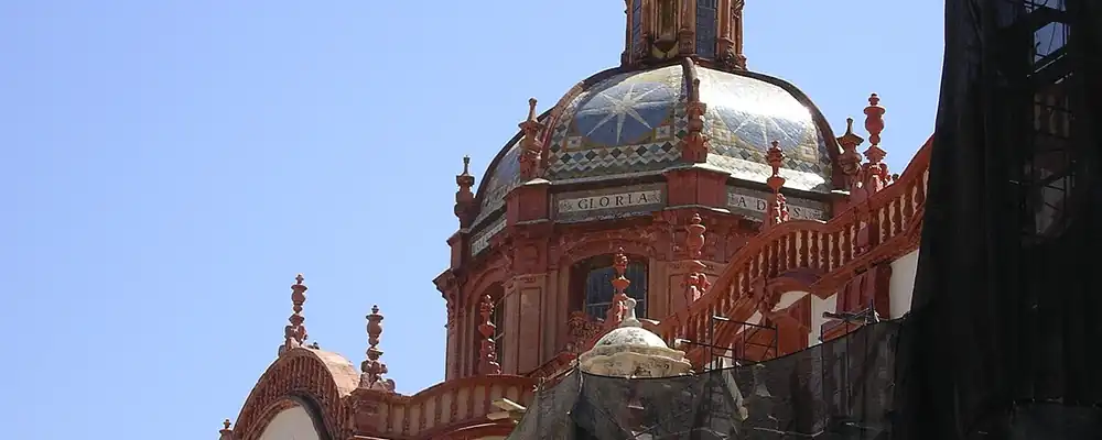
Guerrero
Olmec-age painted caves, Taxco silver and Acapulco's galleons to Asia, then the land of Morelos, Guerrero and Álvarez, and in the 20th century the resort coast.
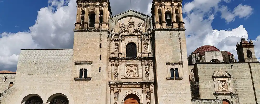
Oaxaca
From Monte Albán and the Mixtec kingdoms to cochineal, Juárez and Díaz, Oaxaca kept its peoples and its languages through every century.